Pfft, you think we invaded everyone for spices to eat them? Absolutely not. We did it so that we could sell them to the French, thereby making the French poorer by exploiting their degenerate addiction to food that tastes nice
Skua
- 21 Posts
- 2.03K Comments
Einstein was secretly Scottish the whole time
This is Alaric, in this image firmly telling me that “my” hoodie is in fact his

 9·22 hours ago
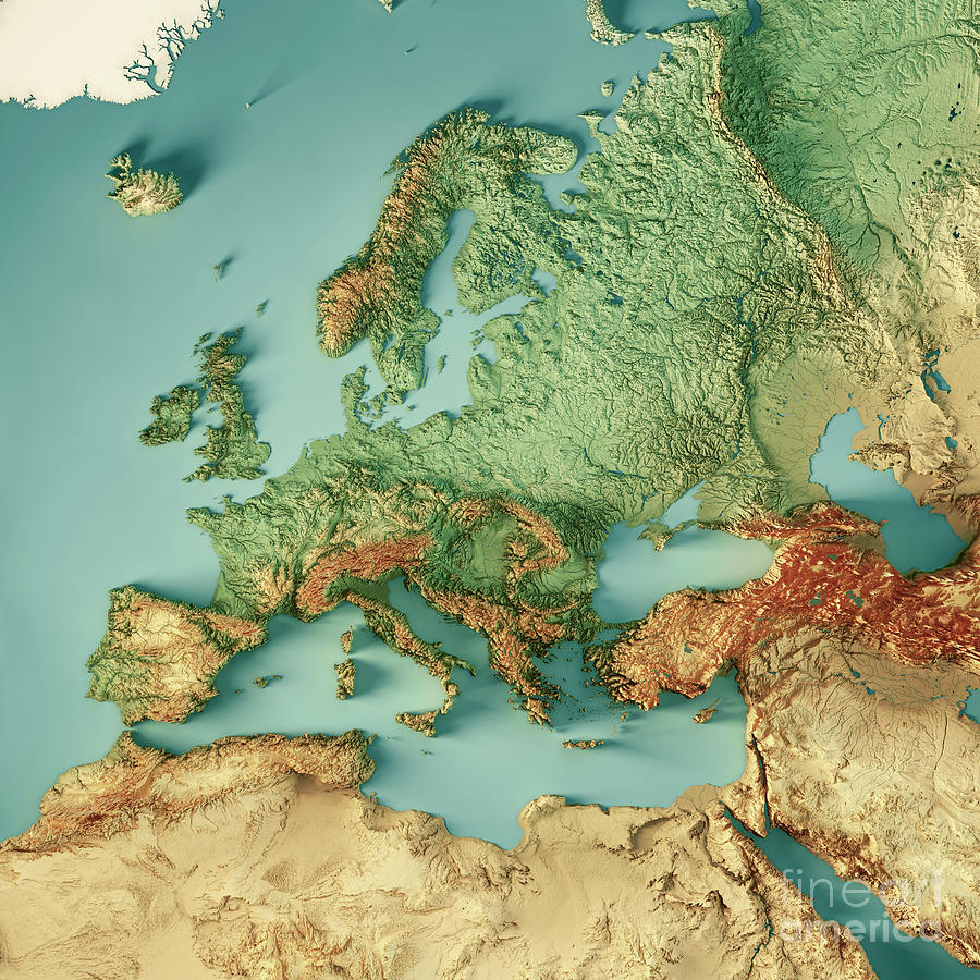
Yeah, by far. They account for 40+% of the entire world’s production, so they’re making so much more than anyone else that it’s basically a guarantee they’re the top per capita too

 6·22 hours ago
There is some! Argentina, Chile, and Australia grow a fair bit. Nowhere near as much as the major Mediterranean producers, certainly, but not nothing
I suppose they’ve got the climate for it. Same reason those three are some of the biggest wine producers outside of Europe

 2·2 days ago
Well I love a whisky but I’ve never had a German one. I’ll have to have a look out for it, especially if it’s gonna be a bit cheaper!
The thing about the name reminds me a little of some of Scotland’s islands. The Orkney and Shetland islands, two archipelagoes in the north, both call their biggest island “Mainland”
Fair enough! That’s not a field I’ve got any knowledge of

 3·2 days ago
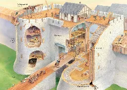
I’m not sure it would work very well as a rest to make removing the bag easier, since the press would be at its maximum depression while resting on the trunk. You could release sone length of rope to reduce the force, but if the weight of the log is a significant obstacle to lift then you do still need to lift it to get the bag out. It would probably be better to remove much more of one of the two branches so that you can press down beyond the junction, release the rope to the wright, then raise it and push it sideways just a little to keep it elevated above the bag
That said, I do think it being a limit on the amount of vertical travel the lever has to prevent bursting / otherwise over-pressing the bags makes sense

 2·2 days ago
Absolutely the opposite for me. I am a chill driver but get very frustrated when trying to walk through busy places. I still like when I can take a non-car option, though
That said, my “very frustrated” at no point ever rises to the level of the road-rage that is all too common amongst drivers

 2·2 days ago
I think you must be right. I have no better ideas, anyway

 1·2 days ago
deleted by creator
Tha mi ag ionnsachadh a-nis, ach cha robh sas bith agam an uairsin

 2·2 days ago
The hinge point should be at the end of the log on our left, not where the Y shaped trunk is. If you assume the Y shaped trunk doesn’t obstruct the vertical movement until after the point you want to move it to, that then works as a press

 4·2 days ago
You’ve interpreted it the same way I did at first. I went looking for real historical examples and the hinge point should actually be at the end of the log that’s on our left, which makes a lot more sense mechanically. I have to assume that Eheran’s suggestion that it’s only a horizontal guide and doesn’t impede the vertical travel of the lever is correct

 23·2 days ago
It’s actually fairly common for mostly-autonomous overseas parts of an EU member state to not be part of the EU. The Dutch Caribbean and French Pacific islands have the same status as Greenland. They’re quite independent in terms of domestic policy and also not typically very close to Europe, so applying the EU’s laws to them is not always practical or useful. I believe they all have standing invites to join if they wish, though.
There’s actually a tiny exclave of Germany that is completely surrounded by Switzerland and is also not in the EU customs union, so sometimes it can happen on mainland Europe. Other EU stuff does apply in that exclave that does not in Greenland, so it’s not quite the same, but still
The two British military bases on Cyprus do still fall within the EU customs union despite being British Overseas Territories, so a tiny bit of the UK that sort of didn’t Brexit

 52·2 days ago
Is that Y-shaped tree trunk meant to be there? It seems to me like it’s just getting in the way of the press operating

 21·2 days ago
“Let’s spend a tonne of money to try to break mutually-assured destruction so we can have a whole new nuclear arms race”

 61·2 days ago
It’s not censorship when a random fellow commenter says they don’t trust you



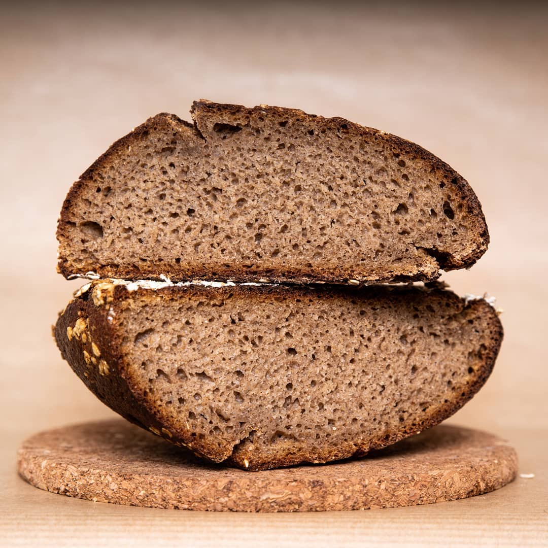









I mean if you take it seriously we do have plenty of good and interesting food, both in traditional and modern cuisine. Hot spice isn’t often a part of it, but there’s lots of usage of herbs and milder spices. Laverbread, black pudding, haggis (yes, seriously), Worcestershire sauce, and Cornish herby pasty are all solid examples of very traditional foods that are pretty seasoning-forward without even touching the enormous amount of stuff we picked up from other cultures (like the curries)
That’s not to say that we don’t frequently earn our terrible culinary reputation. We do. Next to our neighbours like France, Spain, and Italy we just do not have the same level of widespread passion for food, and our habits reflect this. A general lack of adventurousness plagues our palates on a national level