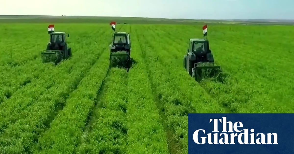
For the two hours drivers can spend on the eight-lane, often empty, highway from Cairo to El Dabaa on the north coast, all there is to see is miles and miles of intensively farmed land on each side. Ten years ago, this expanse of the Western desert was little more than rocks and sand.
It is the first stage of the vast Future of Egypt project, which will eventually encompass 2.2m feddans (9,240 sq km, or 3,500 sq miles) – an area the size of Cyprus.
“The map of the Egyptian desert is changing colour,” declared a recent promotional video, “from yellow to green”.
Satellite images of the area show hundreds of fields with centre-pivot irrigation (in which sprinklers rotate over the crops), some up to a kilometre in diameter. An artificial river 70 miles (114km) long is nearing completion at a cost of more than $5bn (£3.9bn). Once completed, it will carry 3.5bn cubic metres of water a year to the fields.


The Guardian Media Bias Fact Check Credibility: [Medium] (Click to view Full Report)
The Guardian is rated with Medium Creditability by Media Bias Fact Check.
Check the bias and credibility of this article on Ground.News
Thanks to Media Bias Fact Check for their access to the API.
Please consider supporting them by donating.
Footer
Beep boop. This action was performed automatically. If you dont like me then please block me.💔
If you have any questions or comments about me, you can make a post to LW Support lemmy community.