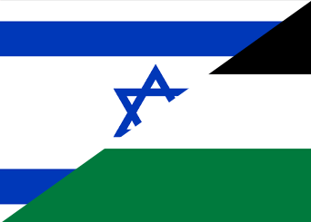
We all know how the real plan looked, but what would you have changed, or how would you have made it if you had to draw it? (answers like no partition, or one state do not count, this is a question specific to how you would design or modify the 1947 plan)


I don’t believe any map would have worked out as it relies upon artificial, imposed from outside borders. The only borders that have ever worked are the ones that have been agreed upon over generations by the inhabitants themselves.
I know that is the case, this is purely a thought experiment.