- cross-posted to:
- [email protected]
- cross-posted to:
- [email protected]
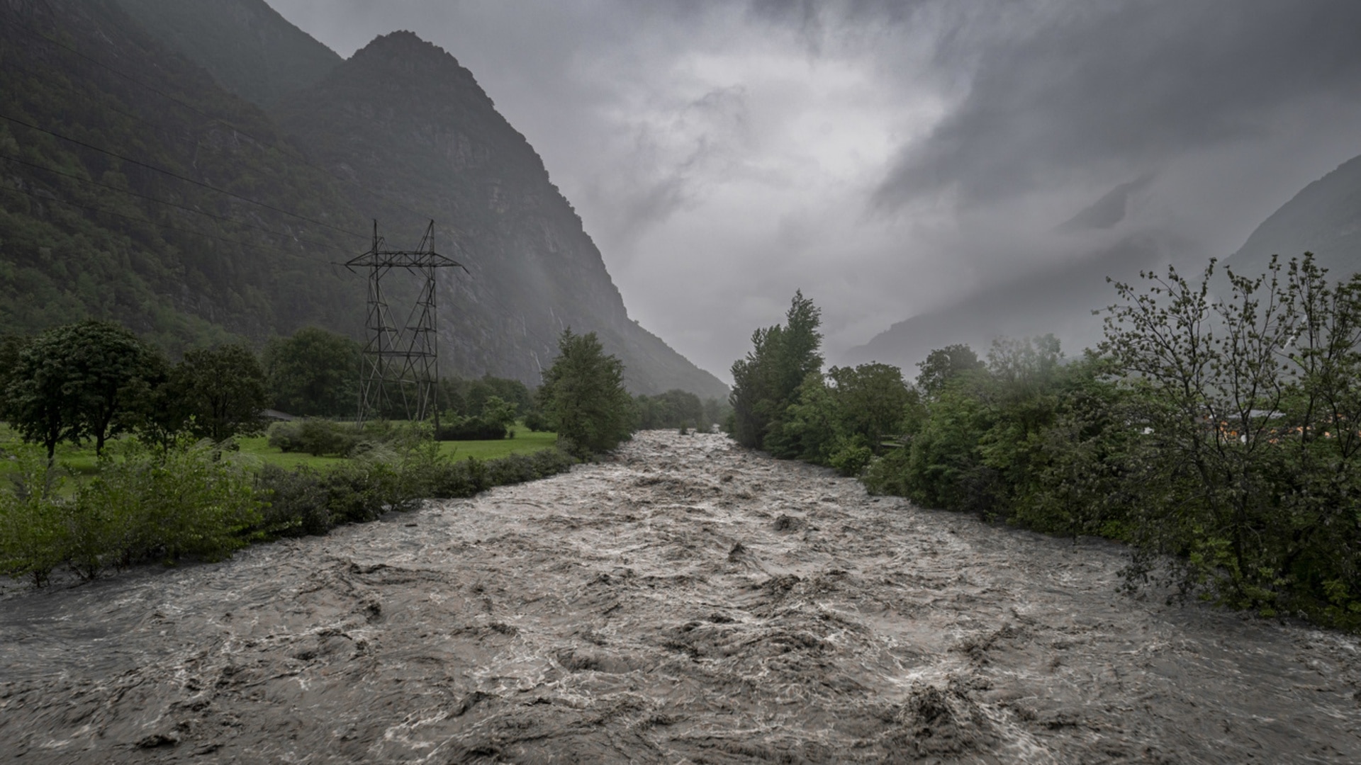
Areas of Switzerland near to the Rhine between Diepoldsau, canton St Gallen and the mouth of Lake Constance were partially flooded early on Monday morning.
There has been no damage so far, a spokesperson for the International Rhine Regulation agency told the Keystone-SDA news agency.
“We expect the peak of the flood at 8 pm,” said Ralph Dietsche, media person for International Rhine Regulation.
The water level also rose upstream. At Domat-Ems, canton Graubünden, the level of the Rhine was at warning level 3 early Monday morning - denoting considerable danger - SRF Meteo announced.
According to SRF Meteo, the high snow line was problematic. Since it was mostly over 3,000 metres at the weekend, practically all the precipitation had drained away. This is particularly dangerous in late summer and early autumn.
It will continue to rain heavily on Monday. However, according to SRF Meteo, with rainfall temporarily shifting from Graubünden towards Valais and the Bernese Oberland. The lower snow line - at 2,000 and 2,500 meters – meant that not all the precipitation ran off.
The intensity of precipitation is also not comparable to the heavy rain in Ticino. More than 360 millimetres of rain fell in Biasca from Saturday noon to early Monday, SRF Meteo said.
During the course of Monday, a northerly warm wind will appear in Ticino and most of the rain will end by evening.
In western Ticino, in southern Valais and in Goms, the weather service expects another 80 millimetres of precipitation by midnight. In the north it will still rain on Tuesday where SRF Meteo expects 0 to 20 millimetres of precipitation.


